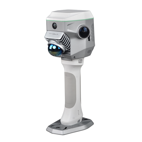
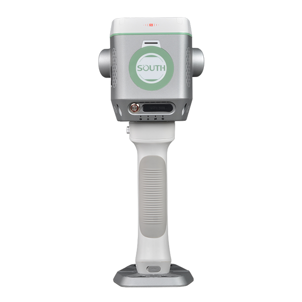
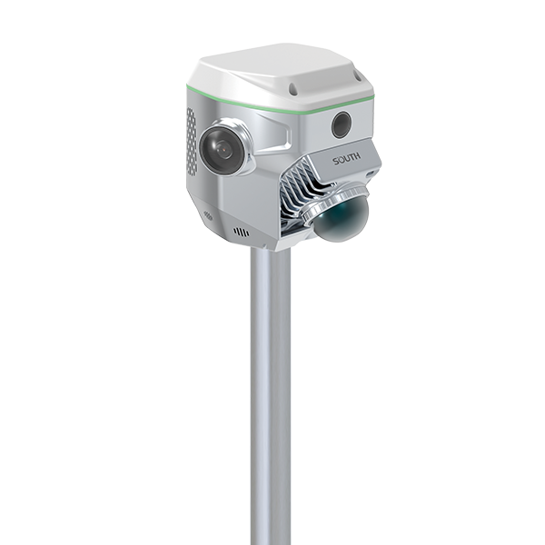
GNSS RTK Hybrid Supreme ME
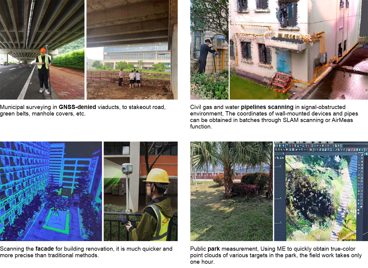
Integrates SLAM and RTK, Improving Your Capability When combing the power of GNSS RTK Positioning and SLAM LiDAR Scanning, surveyors can work in both outdoor and indoor environments, performing contact or non-contact measurements according to their work need, to tackle tasks they couldn’t accomplish previously.
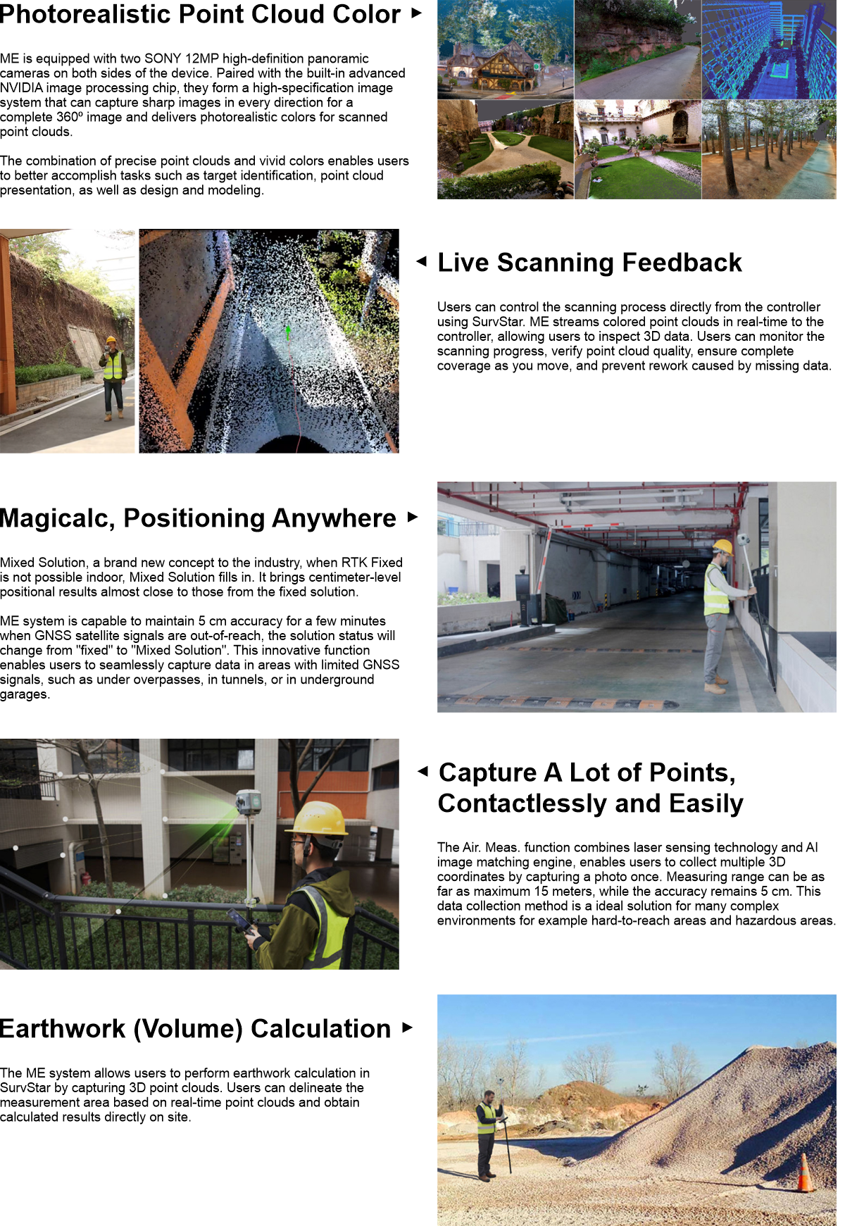
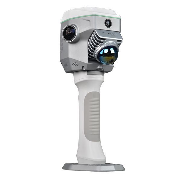
Equipped with a professional graphic card by Nvidia and dual 12 MP panoramic cameras by SONY, ME is able to realistically restore scenes. The 8 MP front camera and 2 MP downward camera help surveyor to preform photogrammetry measurement and CAD-AR stakeout efficiently.
- AVAILABILITY: AVAILABLE
- Inquire Now